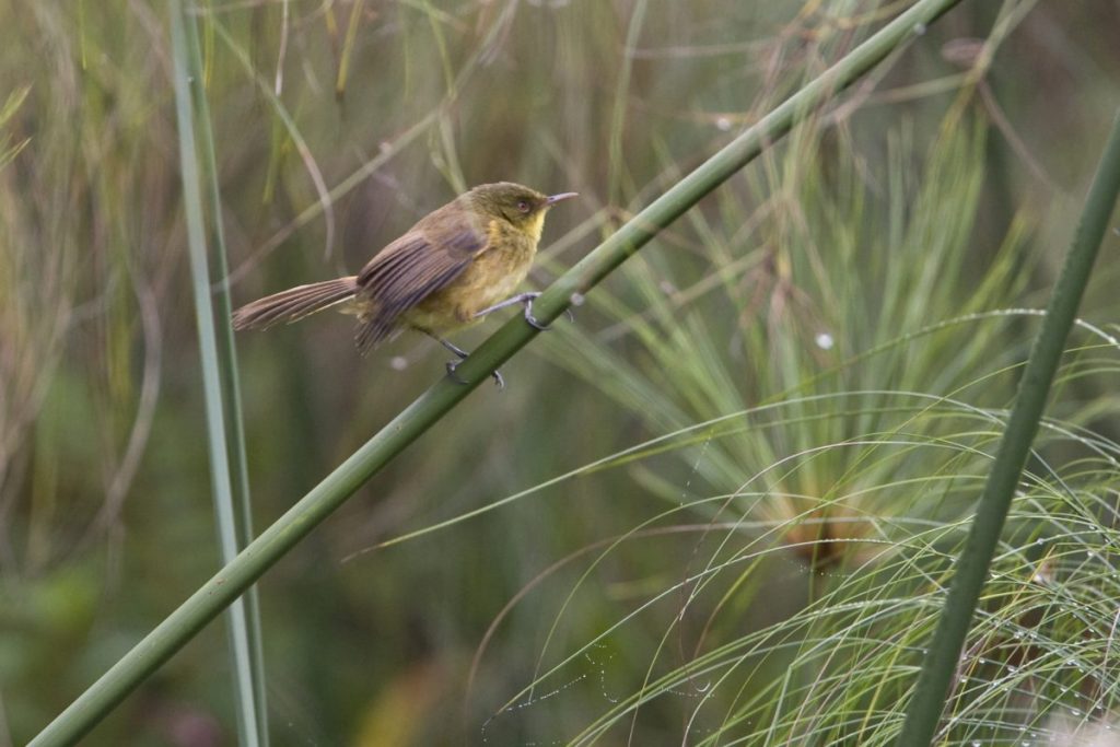
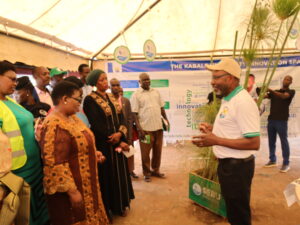
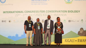
JRS Biodiversity Foundation is funding a consortium led by Kabale University to protect the biodiversity in papyrus wetlands in Uganda. This project titled Site selection to protect papyrus endemic biodiversity in Uganda will generate and process data on the distribution, abundance and habitat use by birds, reptiles and amphibians to determine the priority sites for area-based protection of key sites and advocate for their protection as a contribution to Uganda’s 30 by 30 commitments.
Why?
Papyrus wetlands cover 13% of Uganda, but are in rapid decline threatened mainly by fragmentation, excessive harvesting of vegetation and drainage for crops and dairy farms. These practices threaten their specialized biodiversity, including birds, and they become ineffective in providing ecosystem services for the benefit of society.
The conservation of these wetlands is challenging mainly because there are hundreds of patches scattered throughout the targeted area. Associate Prof Sarah Nachuha, the project leader indicates that “It is neither appropriate nor practical to accord the same level of protection to them all. Choices need to be made to identify the priority sites for protection and those that need to be managed for multiple use.” However, due to inadequate information, decisions cannot be made on which ones best fit in any category.
“A large number of wetlands patches in the area have not been surveyed for papyrus wetland biodiversity. An exception are the wetlands fringing Lake Bunyonyi and Nyamuriro wetland, a KBA. This project therefore fills large gaps in information on the biodiversity in papyrus wetlands” Prof Ilya Maclean, the principle Technical Advisor to the project. “Using birds, which are sensitive to habitat loss and degradation and can be useful proxies of wider aspects of biodiversity greatly enhances efficiency in filling these gaps” he added.
Where?
Focus will be on the papyrus wetlands in the Albertine Rift, extending from the northern boundary of Rwanda in the South to the northern tip of Lake Albert. “The project targets the Albertine rift region because it is globally significant for biodiversity and thus recognised as an Endemic Bird Area, a Global 200 Priority Ecoregion and as part of the Eastern Afromontane Biodiversity Hotspot” says Dr Julius Arinaitwe, deputy Project lead.
This project will use modelling to narrow the focus to the patches that have good prospects of holding papyrus endemic species in high enough densities and population sizes to trigger conservation attention.
How?
On the ground, the project will conduct surveys mainly focussed on birds and covering reptiles and amphibians as well. Surveys will be targeted to those sites predicted by modelling to hold viable populations of endemic birds.
The project will apply remote sensing to assess the rate of habitat loss and degradation at different locations and combine this with biodiversity data to delineate the boundaries of the sites that have the best prospect for long-term persistence of the specialised papyrus wetland biodiversity.
Using the Key Biodiversity Areas (KBA) standard, the information from the biodiversity data and remote sensing will be used to identify site networks that meet the threshold for recognition as KBAs. These sites will be proposed to the Uganda Wildlife Authority, NEMA and the Wetlands Management Department for inclusion in plans to meet Uganda’s 30 by 30 targets.
Who?
The project has been developed by a team from Kabale University in Uganda and the University of Exeter in UK, and will engage the National Environment Management Authority (NEMA), Makerere University College of Agricultural and Environmental Sciences, the Uganda KBA National Coordination Group, the Albertine Rift Conservation Society and the Key Biodiversity Areas Secretariat in UK. Students and Faculty from Kabale University and the University of Exeter will engage in research, teaching and exchange programmes to promote mutual learning and build capability and capacity in evidence-based conservation planning.
The people living in close proximity to the wetlands will be engaged in all stages of the project to secure their support in conducting the assessments and subsequently, advocacy for protection of priority sites.
Then?
All the biodiversity information generated through this project will be availed to local, national, regional and global data repositories including the Uganda National Biodiversity Databank, the Albertine Rift Biodiversity Monitoring System, the Global Biodiversity Information Facility, the World Database on KBAs and Ebird. Furthermore, all the publications from this project will have open access.
The project will pay significant attention to raising the awareness of papyrus wetland biodiversity at local level through sensitisation meetings and media engagement, at national level through advocacy and to the conservation community through scientific articles.
The absence of information on papyrus wetland biodiversity is a challenge that hampers conservation planning, not just locally but also at national, regional and global levels. Hence this project has scope for scaling up throughout East Africa.


